Your Neighborhood Is a Hunger Map — Here's How to Read It on Foot
Photo: North Charleston from North Charleston, SC, United States, CC BY-SA 2.0, via Wikimedia Commons
Most of us walk through our neighborhoods every day without really seeing them. We're on autopilot — earbuds in, head down, navigating the same sidewalks on the same schedule. But what if your daily walk could become something more? What if it could tell a story about hunger that no spreadsheet ever could?
Across the US, a quiet movement is growing. Local walking groups are lacing up not just to fundraise, but to document — mapping food deserts, cataloging resource gaps, and turning their routes into living evidence of a crisis that too often stays invisible. It's part grassroots advocacy, part community science, and it's more actionable than most people realize.
What a Food Desert Actually Looks Like From the Sidewalk
The term "food desert" gets thrown around a lot in policy conversations, but it can feel abstract — a statistic rather than a place. Walking changes that.
The USDA defines a food desert as a low-income area where a significant share of residents live more than a mile from a supermarket. But what that definition doesn't capture is the texture of that distance. It doesn't describe the cracked sidewalks. The bus stop with no shelter in January. The corner store that charges $4 for a can of soup. The empty lot where a grocery chain pulled out three years ago and never came back.
When you walk those miles — really walk them, eyes open — you start to understand food insecurity not as a data point but as a daily physical reality. And that understanding is powerful, both for you and for the people you share it with.
How to Turn a Walk Into a Research Expedition
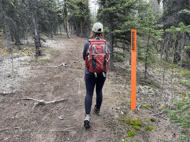
You don't need a grant or a research degree to start mapping hunger in your community. You need a phone, a group of willing neighbors, and a plan. Here's a practical framework that walking groups around the country have used successfully.
Step 1: Define Your Route With Intention
Don't just pick a scenic loop. Choose a route that passes through a range of neighborhood types — ideally one that crosses income boundaries, because food access gaps often do too. Use free tools like the USDA's Food Access Research Atlas (available online) to identify areas in your city that are already flagged as food deserts. Let that data shape where your feet go.
Step 2: Assign Observation Roles
Break your group into loose roles before you set out. Some people document food retail — every grocery store, corner store, farmers market, and fast food outlet you pass, noting prices and fresh produce availability. Others track infrastructure — sidewalk quality, bus routes, lighting. A third group can engage with residents they meet along the way, asking simple questions about where they typically buy groceries and how far they travel to do it.
This isn't surveillance. It's community listening. Most people, when approached respectfully, are glad to talk.
Step 3: Use Free Mapping Tools
Google My Maps is free, intuitive, and shareable. As your group walks, drop pins and add notes — "no fresh produce within six blocks," "bus stop here but service ends at 6pm," "food pantry, open Tuesdays only." By the end of the walk, you'll have a visual layer of information that tells a story no pie chart can.
Other tools worth exploring: Ushahidi (a community mapping platform used by nonprofits worldwide) and Tableau Public, which can turn your collected data into shareable visualizations. Neither requires technical expertise to get started.
Step 4: Document and Share
After the walk, compile your observations into a simple report — even a two-page PDF with your map screenshot and key findings. Share it with your city council member. Post it on the neighborhood Facebook group. Submit it to your local paper. Connect it to your Walk to End Hunger fundraising page so donors understand exactly what their money is addressing.
Data collected by community members carries weight that external studies sometimes lack. It's local. It's specific. It's hard to dismiss.
Real Groups, Real Results
In Detroit — a city that has long struggled with food access in its lower-income neighborhoods — a walking group connected to a local faith community began doing monthly "food access walks" in 2021. Within a year, their documented findings helped support a successful rezoning proposal that brought a fresh food co-op to a neighborhood that had been without a full-service grocery for over a decade.
In rural Appalachia, a small group in eastern Kentucky uses their monthly walks to map the distance between scattered households and the nearest food bank distribution site. Their data has been shared with regional food banks to help optimize delivery routes — a practical outcome that started with nothing more than a group of people deciding to pay attention.
These aren't anomalies. They're examples of what happens when you combine community movement with intentional observation.
Connecting the Walk to the Fundraise
One of the most effective things your walking group can do is tie your mapping work directly to your fundraising narrative. When donors can see a map of the food gap you walked through — when they can picture the six-block stretch with no fresh produce, or the family that takes two buses to reach the nearest supermarket — their motivation to give becomes concrete rather than abstract.
Share your map on your Walk to End Hunger fundraising page. Post walk-day photos alongside the data points you collected. Let your donors feel like they walked with you, because in the ways that matter most, they did.
Starting Small Is Still Starting
You don't need a large group to begin. Three people with smartphones and a shared afternoon can produce something meaningful. The goal isn't perfection — it's presence. It's showing up in your own community with enough curiosity to ask what's really going on.
Hunger in America is often described as a hidden crisis. But it's only hidden if you're not looking. Lace up, step outside, and start looking. The map is already there. You just have to walk it.